What if you could execute simulation without having to wait on terrain generation?
What if you could execute simulation simultaneously in separate geographic areas around the world?
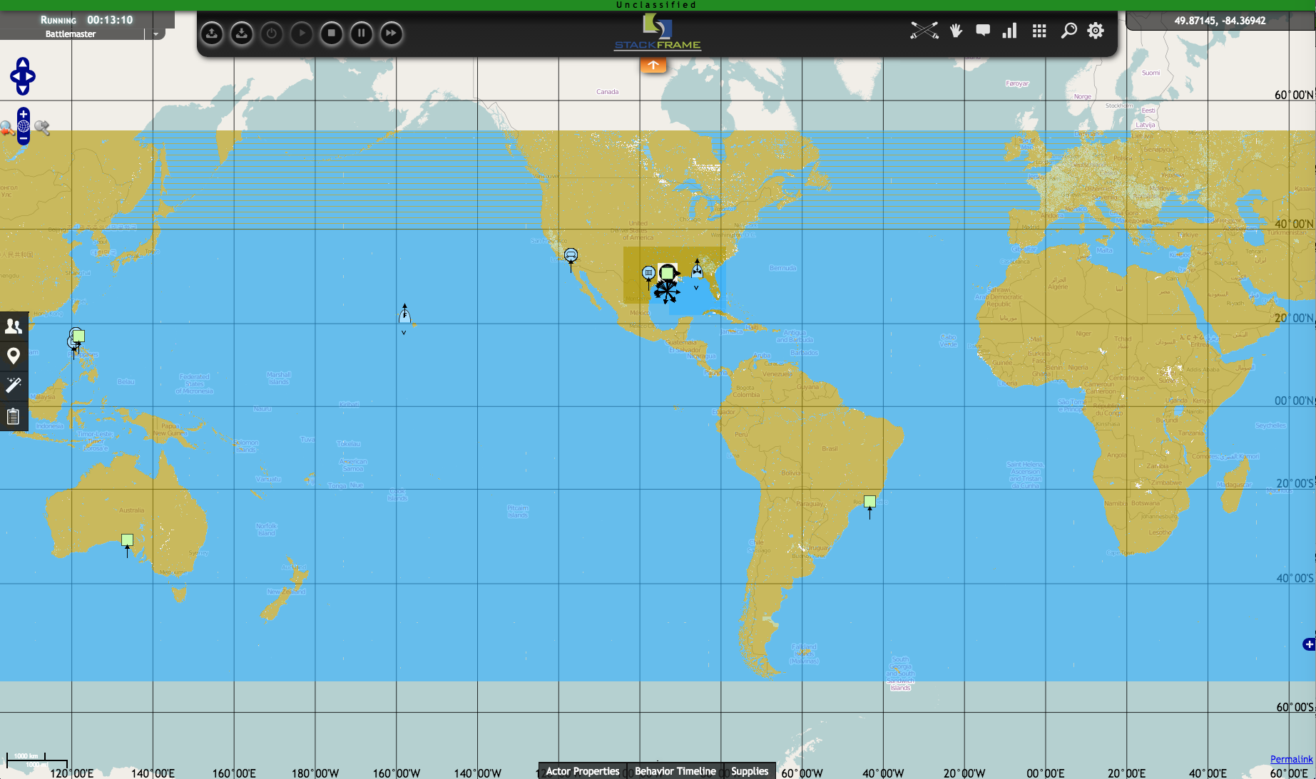
StackFrame has developed a low feature resolution simulation terrain, covering the globe, from 60 degrees north to 60 degrees south. This WWTDB:
- Represents 90m postings for elevation data globally (DTED 1) and 30m postings for US (DTED 2), and coarse feature data
- This will improve over time
- Is made up of 40,320 geotiles
- Consumes 144G of disk space